")


Hiking in Terceira
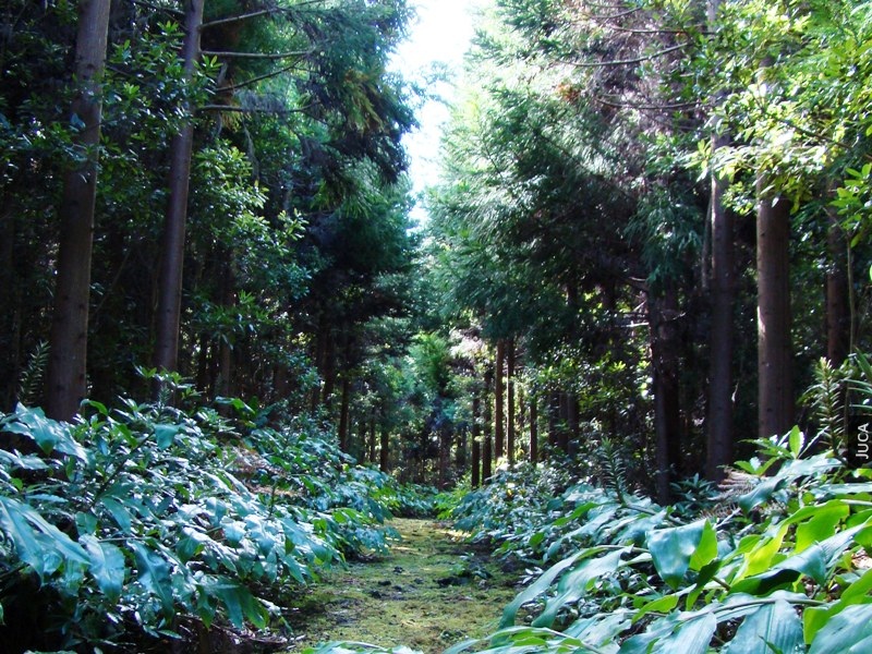
Mistérios Negros
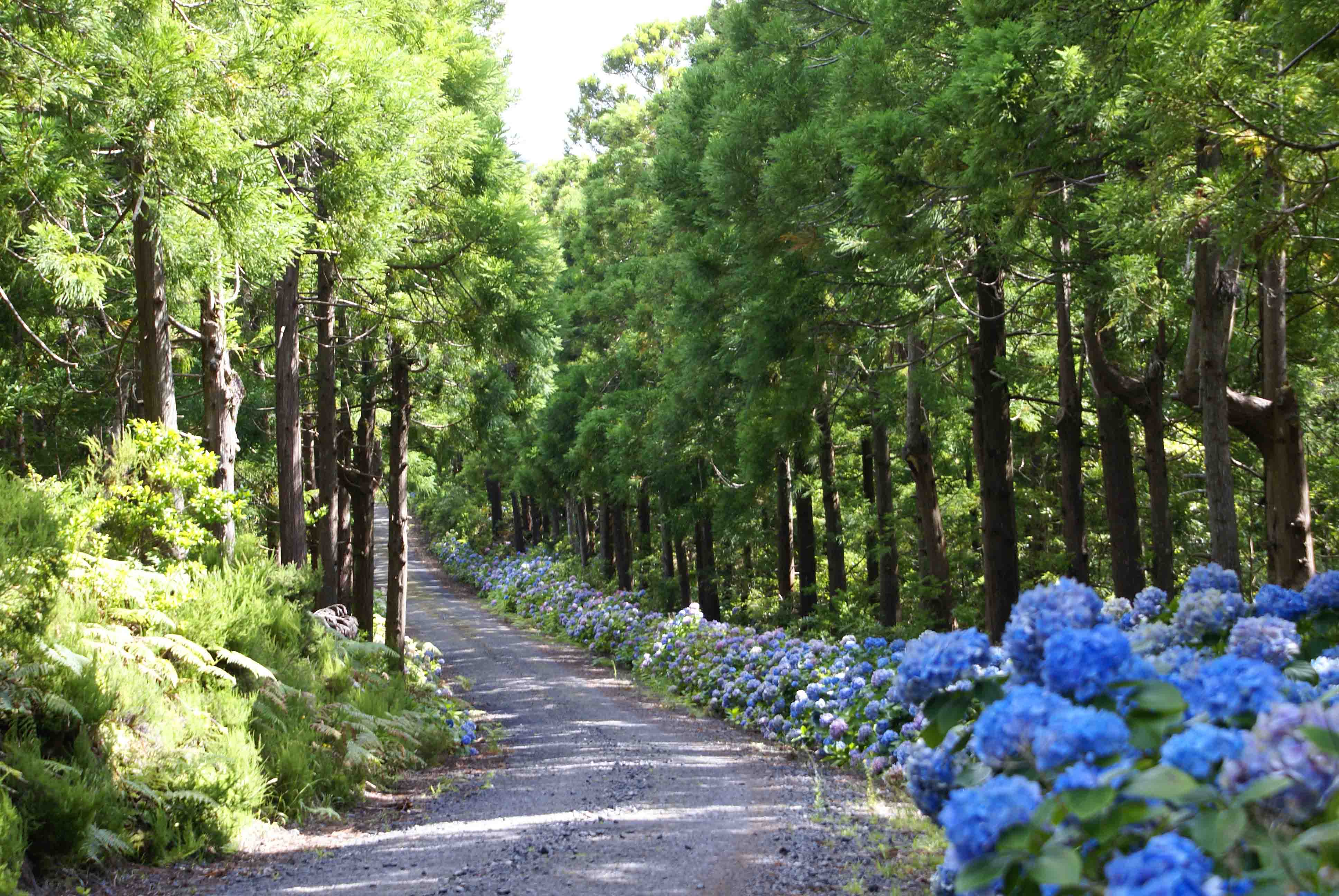
Starting and ending near the Christmas Grotto, near the Black Lagoon. The path starts by a dirt road that then comes to a forest criptoméria, ling (Caluna vulgaris), heather (Erica azorica) and cedar-eating fox (Juniperus brevifolia), and through the edge of the Valley Pond Fund, the route continues over an area of endemic vegetation such as cedar of the woods, grape-da-serra (Vaccinium cylindraceum), laurel (Laurus sp.), rolling (Viburnum Tinus), holly (perado Ilex), tamujo ( Myrsine retusa) among others. Reaching the area of “Mysteries Black” three domes that were accumulating recent lavas, still not having any kind of vegetation. Continuing the trail, you reach the Pico Gaspar and can be observed if its full of endemism crater. Down, returns to the beginning of the route.
- Form – Circular
- Difficulty – Difficult
- Extension – 5 km
- Average time – 2h30m
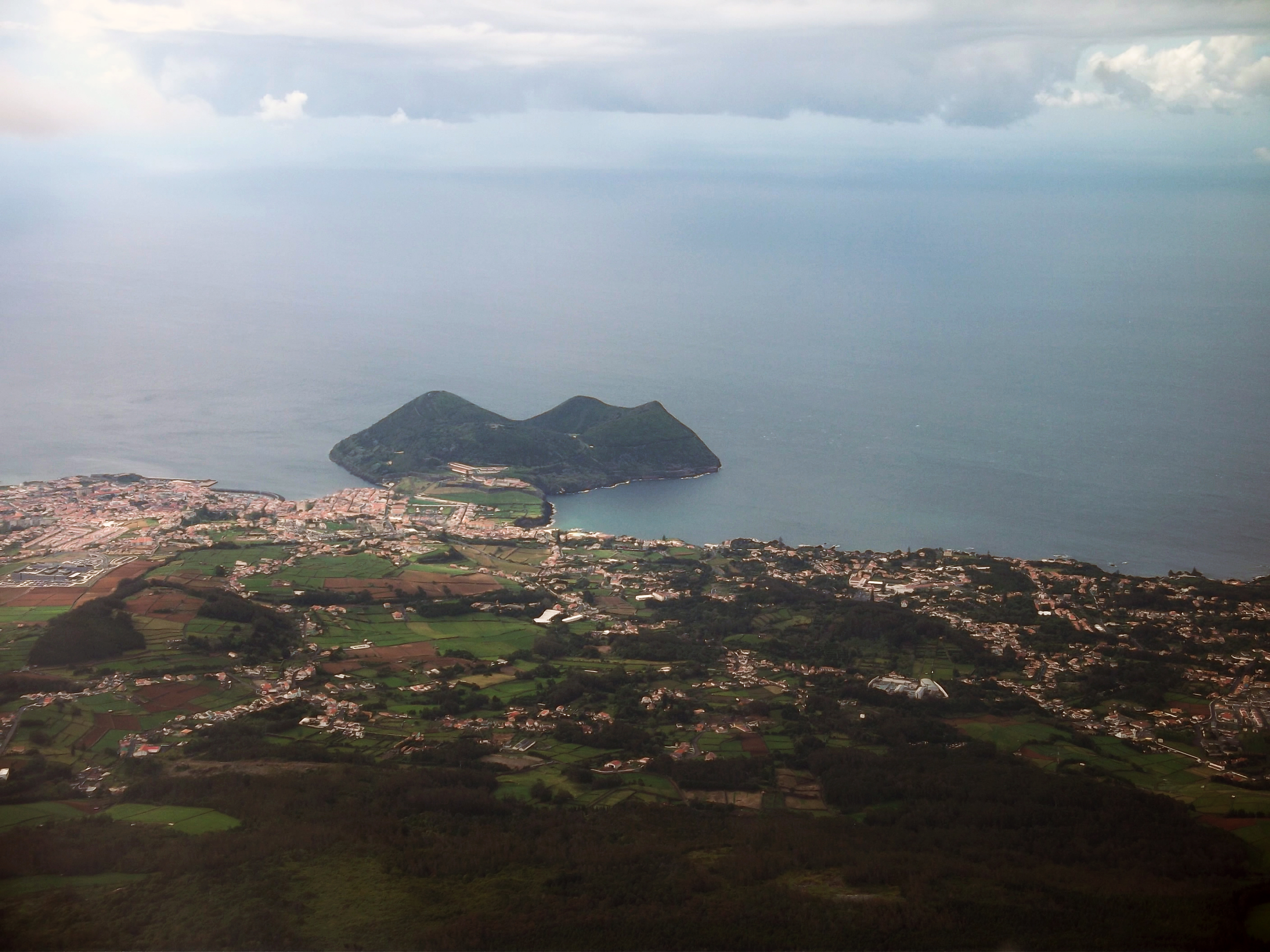
Monte Brasil
Beginning and ending with the Relvão Park, this trail begins the climb to the Fortress, walking a little arrive at the St. Anthony’s Chapel. Walked by this trail you can see the city and the Bay of Angra. Continuing up attains the Pico do Facho, the highest point of Mount Brazil, and then descends, through a heather vegetation zone, until you reach the Forte da Quebrada. After resuming the way, one crosses a wood of incense, until reaching the Vigia da Baleia. Shortly after, walk-up to a shortcut that goes up to the Peak of the Crosses. Finally, it goes down until you reach the starting point.
- Form – Circular
- Difficulty – Easy
- Extension – 7.5 km
- Average time – 2h30m
Agualva bays
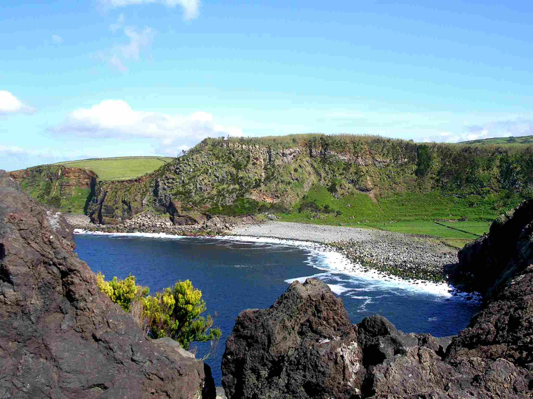
Developing along the north coast, between Agualva and Quatro Ribeiras, this is followed by dirt, pasture to get Grota da Lagoa and when it descends along the same, comes to the Alagoa of Fajãzinha. This is one of the best examples of a fajã fill the Azores, which have been the result of a lava stream, which poured over the cliff, creating a barrier zone, forming a bay, and later filled by debris carried by the water Grota and the sea, embedded pebble. Further, it follows for the cliff, which presents with a viewpoint that allows the view of the Alagoa of Fajãzinha and Ponta da Lagoa. Proceeding to another viewpoint, which allows the view of the mystery of the tip, which was formed by prismatic disjunction. Continuing, aiming for a third viewpoint, which offers the best conditions for observing birds, can be seen the Common Tern, especially in the summer, and the rest of the year, one can see Pigeons-the-rock and Torcaz. Following by a cliff and a stone wall, reaches the tip of Mystery tip, with a view of the tip of Quatro Ribeiras, the Biscuits and Altars. Finally, it returns to the beginning after one kilometer. This trail passes through an area classified as a Site of Community Interest.
- Form – Circular
- Difficulty – Easy
- Extension – 4 km
- Average time – 2h
Relheiras de São Brás
A small circular route that begins and ends in the São Brás Picnic Park and how big attraction are the Relheiras prints of Bois cars, a testimony to the rural past of the area of the Great Branch. Followed in Canada dog Source, which are the earliest traces of cattle this island car movement, it can be identified two types of relheiras, a narrow V-shaped, prior to 1820, which were used nails on wheels, to better handle the oxcart; and other wider, deeper and plans, are more recent. The surrounding area contains a bay vegetation, heather, beech-the-earth, incense, eucalyptus, criptoméria and sulfone-of-nut. Reaching the dog Source a basaltic cavity containing water throughout the year, and a drinking fountain for animals. Following the path, we cross an area of eucalyptus, reaching an area with a more undergrowth, are the fir trees and heather, which give welcome to a view of the Massif Pico Alto and Serra do Cume. Resuming the way, one passes an iron gate and follow up to the beginning of the trail.
- Form – Circular
- Difficulty – Easy
- Extension – 5 km
- Average time – 2h
Serreta
By starting and ending in the village of Serreta, it will be up by Canada of sources, continuing for a dirt track accompanied by a varied vegetation of endemic flora such as heather, white wood and beech and some weeds as incense and acacia. Following and up to the Pond, a small pond surrounded by a forest of cedars. Continuing on the path, reaches to Ribeira addition and follows the forest in Pico Negrao, accompanied by pumice and bagacina. Reaching a pasture, through up to a water tank according to Serreta. This path crosses a nature reserve area.
- Form – Circular
- Difficulty – Medium
- Extension – 7 km
- Average time – 2h30m