
")


Leisure in Cadaval

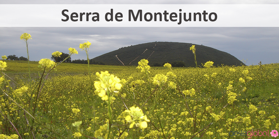
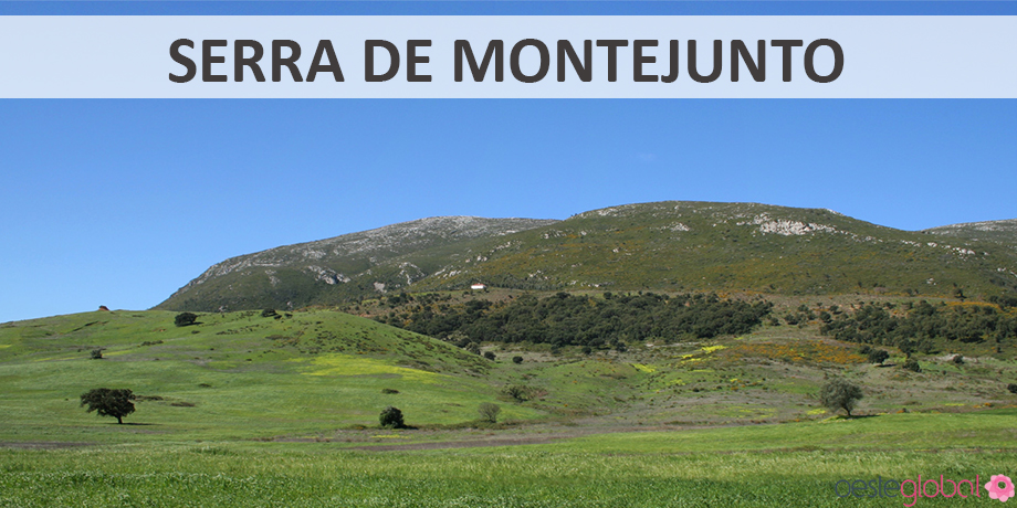
The Montejunto Mountain is a quiet location ideal for performing activities and animations or explore the flora, fauna and geology of this mountain through hiking / biking / donkey and horse / car, mountaineering, mountain climbing, caving, hang gliding , paragliding and horseback riding.
In order to explore the best of Montejunto Mountains, are some hiking trails.
Rail Quinta da Serra>- Montejunto Mountain – a circular route path, developed an ecological, cultural and landscape context. Who hold this trail will pass through a Mediterranean forest, from chestnut trees, the pines, cedars and small tufts of rosemary. It will be a small flame of attention to the cultivation of land, called Covões. In this saw, it is a vast vegetation that hides the stony limestone mountains. Penha in the Midday, can be seen the cliffs with bird Nest establishment, settlements and flatness to the sea. Near the end, it is the Royal Ice Factory, a point of equity interest. At the end is a small pond.
- Distance – 6 km
- Duration – 2h30
- Departure – Environmental Interpretation Centre of the Sierra de Montejunto
- Level of difficulty – easy
Rail of Half Day Penha– Montejunto Mountain – a circular route that is within the ecological and landscape context, the Protected Landscape Area of the Sierra de Montejunto.
- Distance – 7 km
- Duration – 3h30
- Departure – Environmental Interpretation Centre of the Sierra de Montejunto
- Difficulty level – moderate
Rail For the Quinta da Serra to the Top– A route that goes to the top of the Sierra de Montejunto. At the beginning of the tour, is the forest of chestnut trees, past a small pond, through the pine forest. Climbing this mountain, hikers enter the kingdom of limestone. When it reaches the top of the mountain, the Dominican convent is located along with a landscape of breathtaking. The South sees the wave of the hills to the Tagus River, which highlights the volcanic chimney Mecca. The latter is one eucalyptus plain. To the west, the cultivated valleys are, the plateau of the Penhas Relvio and eucalyptus extension to the sea. To the north are the cliffs of the Sky Windmill and cliffs of Penha Mid-Day.
- Distance – 9 km
- Duration – 3h30
- Departure – Environmental Interpretation Centre of the Sierra de Montejunto
- Difficulty level – moderate
Southern Rail– Serra De Montejunto – this route will run through the southern Sierra tab, rising to its highest point. Early on we enter the forest of chestnut trees, southwest dominates the underbrush. To go this path, there is a contrast between steep cliffs and cultivated plains. At the top of the mountain, hikers could enjoy a panoramic landscape, the south an area of rolling hills leading down to the river Tagus. In this, one eucalyptus plain. To the west, they are cultivated valleys along with the plateau of the Penhas Relvio and eucalyptus extension to the sea. To the north are the cliffs of the Sky Mill and crags of the Midday Penha.
- Departure – Environmental Interpretation Centre of the Sierra de Montejunto
- Level of difficulty – difficult